Devices for underwater prospection
The variety of tasks in underwater prospecting require a considerable amount of equipment. The VIAS Dendrolabor has a solid set of the needed equipment and the necessary know-how for its successful use. We are happy to provide our experience and our equipment for investigations of all kinds.
Positioning land/water
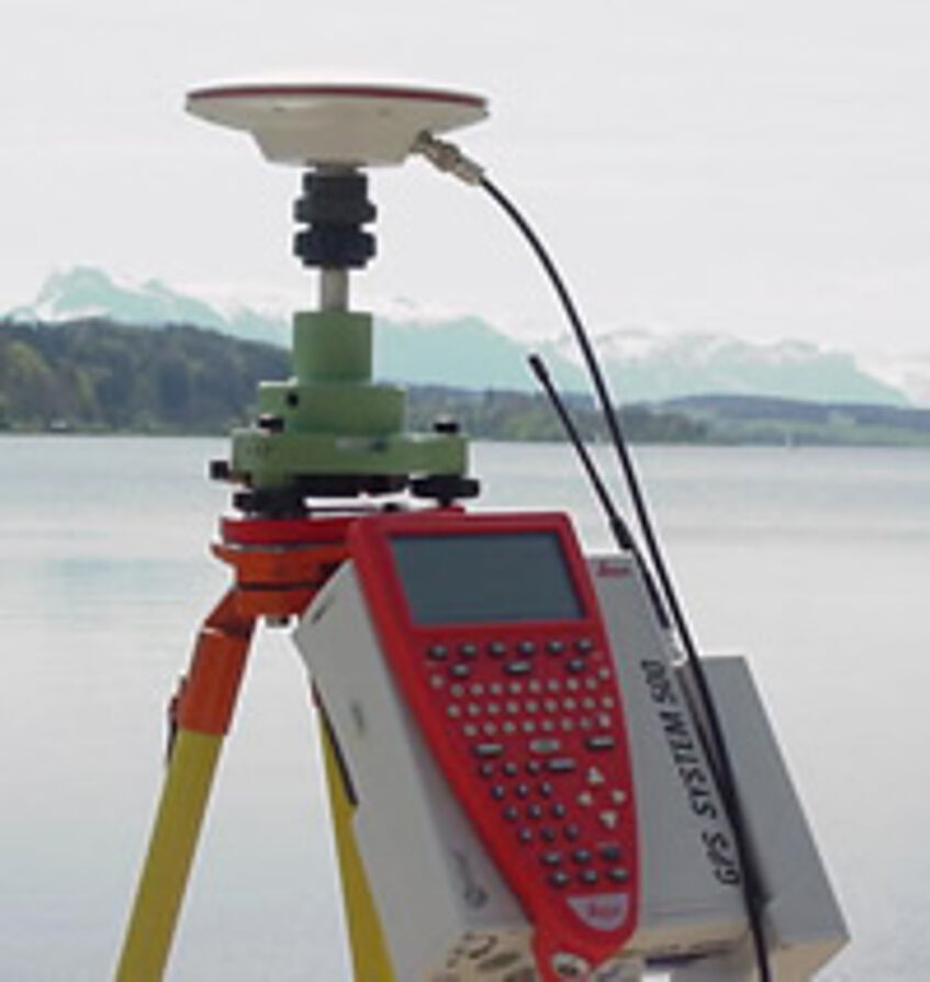
Leica GPS500 - DGPS
With DGPS systems it is possible to take real-time CM measurements in seconds or perform kinematic measurements (for example, on boats), after setting up and calibrating a base station.
Our equipment currently includes
- 2 x SR530 Rover/Base-Station (RTK)
- 2 x MC500 Rover/Base Station (RTK)
- 1 x SR510 Post Processing Unit
- Wireless modems (max. 5km distance base / rover)
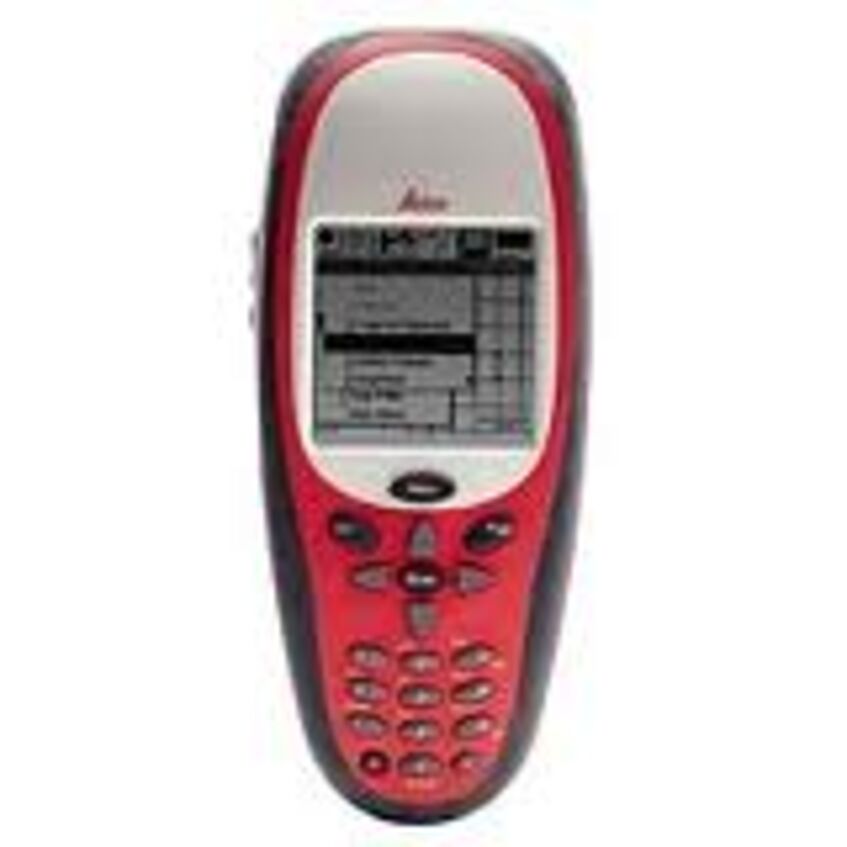
Leica GS20 - GPS/DGPS System
This handy device can be used as a stand-alone GPS receiver with 1m accuracy or in conjunction with a GPS500 base station in DGPS mode with dm accuracy. Recorded positions are graphically shown directly on the display of the device. The GS20 is also ideal as a positioning aid for navigating boats.
- Leica GS20 Handheld DGPS reciever with WoRCS Belt
- Wireless modem (compatible with Leica GPS500)
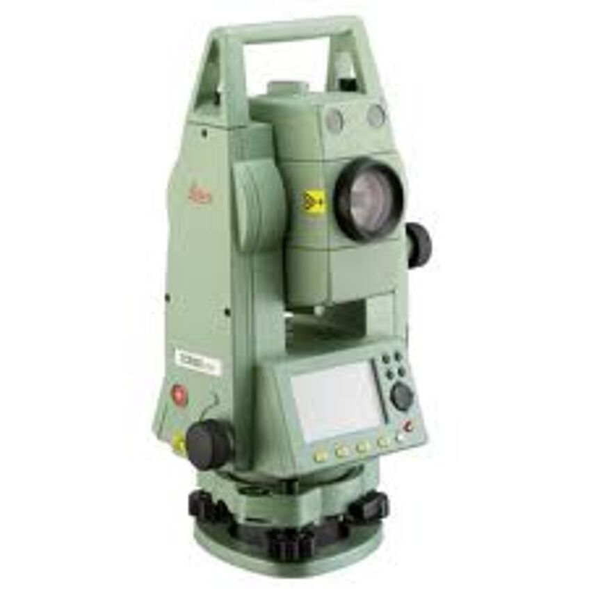
Leica Total-Station TC407 Tachymeter
Our tachymeter is used for the measurement of areas and fixed points and complements the DGPS system. Horizontal and vertical angles as well as the distance to the object are recorded. These data can be used to calculate coordinates that can be converted directly into corresponding coordinate systems (österreichisches Bundesmeldenetz, WGS 84) when the tachymeter position is known (e.g. DGPS calibration or installation on a fixed point).
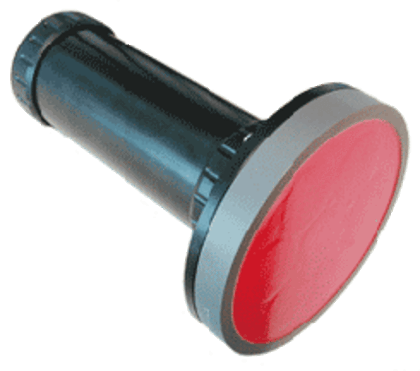
In particular, when measuring positions under water the tachymeter is ideal. For this purpose, the position is projected onto the water surface with a plumb line, to which a reflector buoy is fastened, and then measured. The depth of the object is determined by the diver and later added to the dataset as a Z coordinate.
Underwater locating
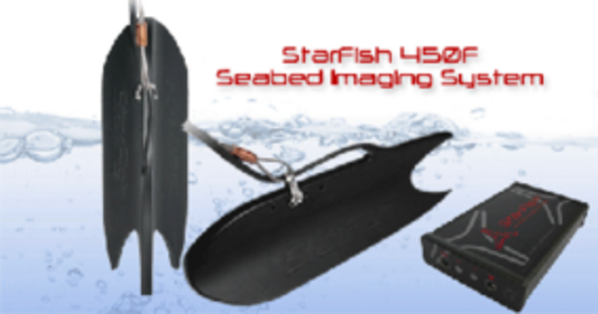
TriTech Starfish 450 SideScan Sonar
(20m cable, 1,7° resolution, 1-100m, 450kHz)
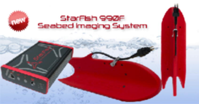
TriTech Starfish 900 SideScan Sonar
(50m cable, 0.3° resolution, 1-35m, 1Ghz)
The two SideScan sonars are used to scan the bottom of the lake using ultrasound. The result is a detailed photo-like image of the surface. The position is recorded by means of a DGPS receiver. By post-processing the recorded data, objects can be calibrated and measured. The prerequisite for a successful use of the side-scan sonars is, to measure along grids and low swell.With TriTech devices, large areas can be captured in a short time. The vehicle used is an electric boat or (in streams) a motorboat.
Tritech Prametric Sub-Bottom Profiler
The principle of a sub-bottom profiler is based on the emission of high-energy low-frequency (10-30kHz) ultrasonic signals. In contrast to the normal sonar, these signals are not reflected directly at the boundary layer between water and the bethic zone, but penetrate depending on the frequency of different depths (up to a few meters) in the sediment before a reflection occurs. From the runtime behavior of the signals, information about the structure of the bottom of the lake can be obtained (density variations caused by material differences, objects embedded in the sediment).
The sub-bottom profiler is guided in a grid over an area with a boat, the position of the measuring head is determined by DGPS and stored. Subsequently, the obtained data can be analysed and used for the mapping of the bottom of the lake, by georeferencing them.